Back in November, I spent some time wondering about how the spring 2024 iteration of the “Why the Middle Ages Matter” course at John Adams High School would unfold. I spent the last few weeks of 2023 refining my syllabus, working on lesson plans, communicating with guest speakers, and arranging field trips. Looking back, I think I spent so much time preparing for the course because it was all so new to me. The biggest thing that got me nervous was the fact that I would be teaching high schoolers. My prior teaching experiences involved courses designed for university students, so I worried about my ability to make things resonate with a different audience. Furthermore, for the first time I would be leading a teaching team, coordinating with over a dozen guest lecturers, and planning two field trips. I really wanted it to be a good experience for everyone involved.
Now that it is May and teaching for the course has wrapped up, I like to believe that I can say that things worked out rather well. We all survived! I had six lovely students enrolled in the course. They came from different walks of life and had varying degrees of familiarity with the Middle Ages. These students were all united by their curiosity and eagerness to learn. They impressed me, other members of the teaching team, and my guest lecturers with their questions and comments. I got the impression that they saw our time together during the fourth hour of school as a time to experiment and take risks. They never worried about if a question was partially formulated or about sounding like a novice. Time and time again I thought about how fortunate I was to have such engaged students. Together, we tracked changes around the Mediterranean and beyond as curious co-investigators. With guest lecturers as our guides on our journey, our collective knowledge grew. Field trips allowed us to think beyond the confines of the classroom and encounter cultural productions from the times and places we discussed. They made the Middle Ages feel more real.
We as a class came to the consensus that our trip in mid-April to the Raclin Murphy Museum was a highlight. They were dazzled by the brand-new building, the high ceilings, and impressive gallery spaces. This was the first visit to the museum for all but one of my students. Maggie Dosch, the Assistant Curator of Education School Programs, was our North Star and guiding light as she led us through her thoughtfully-crafted tour and lesson plan. The teacher became a student as I relinquished control to Maggie and her expertise. She shared so much knowledge with us that morning as she led us through close-readings of various works of art.
Maggie Dosch (left, standing), Assistant Curator of Education School Programs, guides students from John Adams High School, South Bend, IN through a close reading of a piece depicting Byzantine iconography.
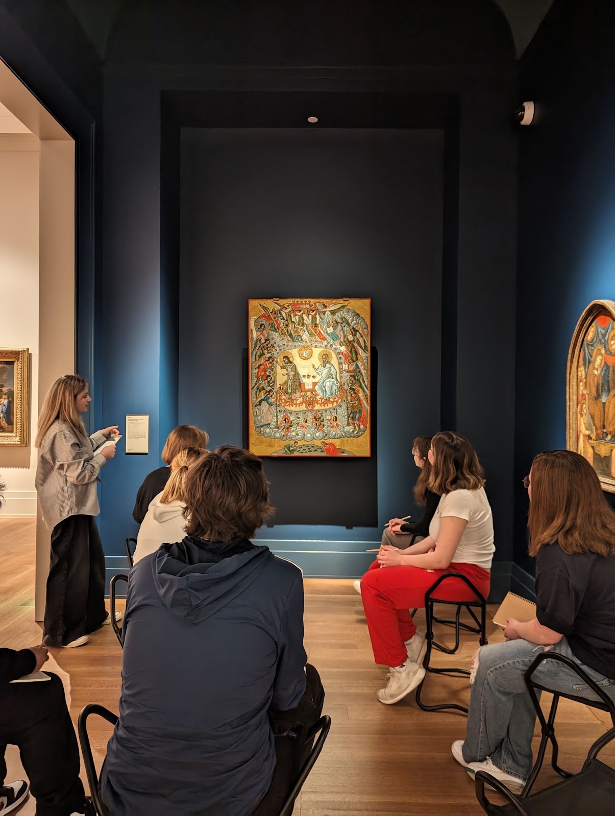
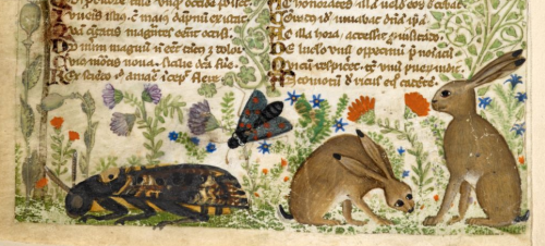
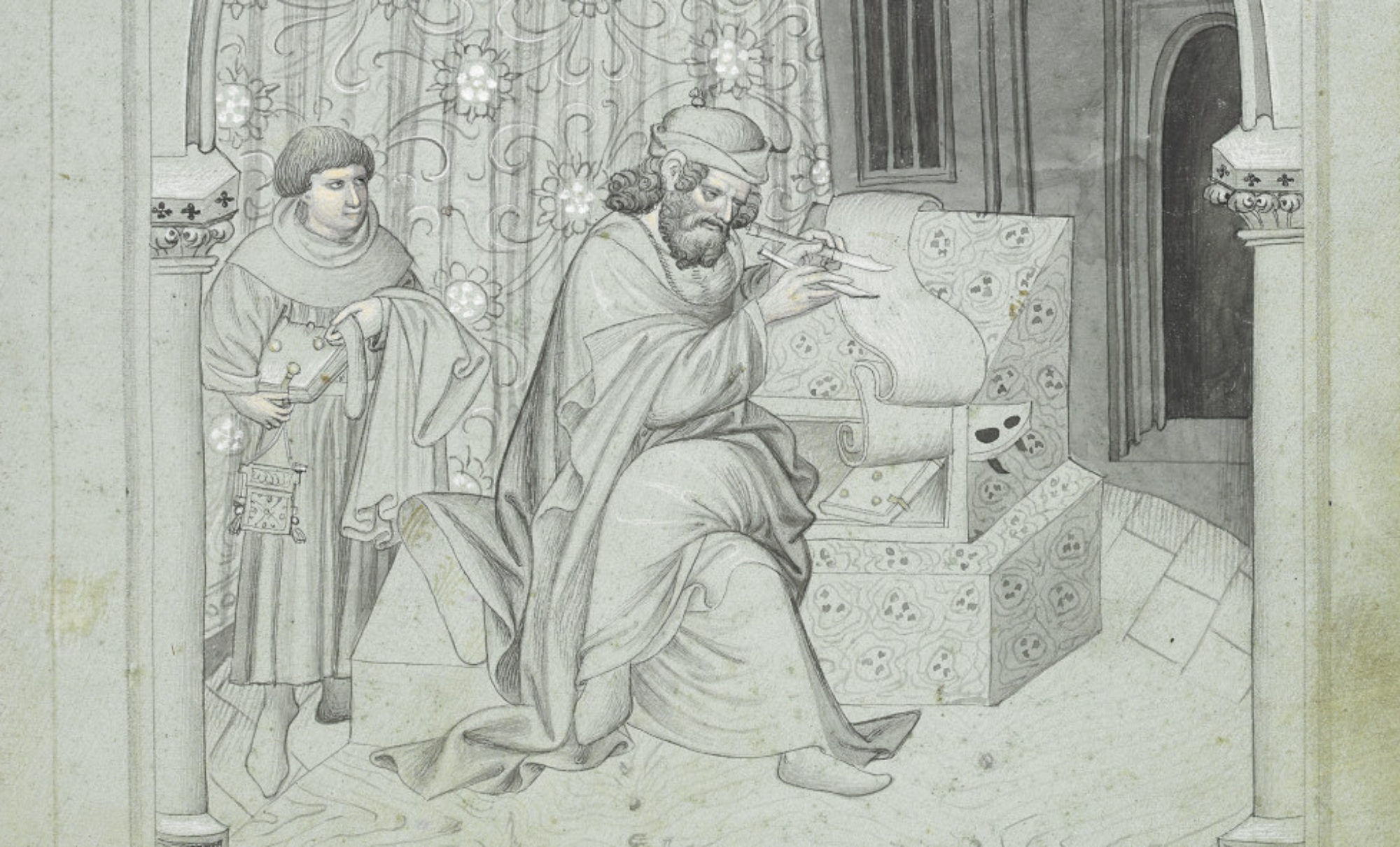
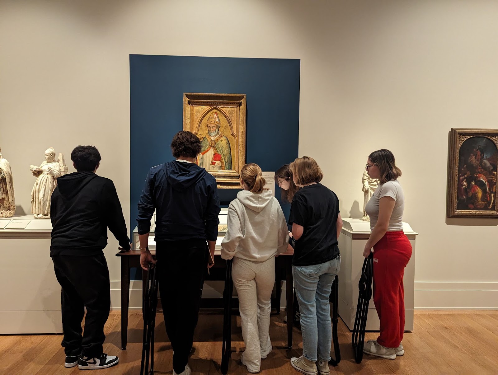
Maggie started us off with a selection of pieces from the gallery that features European Art Through 1700. It was wonderful to see my students outside of our typical classroom setting. Instead of sitting in classic student desks facing the front of our cider-blocked classroom, we were all huddled together around various tableaus and sculptures. With nothing but our humble, portable stools and notebooks and pencils, we were all equals in Maggie’s moving classroom. I found myself joining my students in asking Maggie questions about context and materiality. We all wanted to take advantage of being in the presence of someone who knew the gallery and pieces so intimately. She had us all eating out of the palm of her hand as she told us about the process of gilding, reliquaries, and more. Maggie had choreographed a beautiful, delicate dance that allowed her to move gracefully between the medieval and the contemporary. We saw works from Byzantium and Italy and beyond. Indeed, she took us on a journey around the Mediterranean even though we never really ever left South Bend. Before we knew it, our time with Maggie was done. She only had an hour to spend with us before she had to move onto her next group.
Over lunch at a nearby fast casual restaurant, my students groaned about how short the visit was. Why couldn’t we have doubled or even tripled our time? There was so much more to see and explore! We barely scratched the surface! As they chatted amongst themselves over a feast of pizza and soda, I could hear them asking each other about their favorite parts of the visit. It was great, as an instructor, to know that my students were having these conversations organically among themselves. When lunch time came to an end and we had to make our way back to John Adams High School, I reminded them that the Raclin Murphy Museum is a community resource – they were welcome to return with their friends and family. Many seemed eager to plan for their next visit!
Students from John Adams High School, South Bend, IN gather around a display detailing various inks used during the Middle Ages as well as the process of gilding
Indeed, experiential learning is crucial for making the Middle Ages matter to these students. It is one thing to work with primary sources, listen to guest lecturers, and look at art and architecture on PowerPoint slides. It is another thing entirely to get outside of the conventional classroom setting and encounter a work from the past in an intimate setting. It is a privilege to have an expert help you make various connections between artistic techniques, influences, and historical context. It is powerful to share your observations in real time with someone who can answer any questions you may have as well as provide more insights. It is a way to break down barriers.
Years from now, I have a feeling that my students will not remember me. I mean, I am guilty of not remembering all the names of my wonderful instructors! As time passes, the details of this class might become fuzzy. My students might be able to tell others something along the lines of, “yeah, I took a medieval studies class in high school that was in partnership with the University of Notre Dame.” Perhaps they will recall a guest lecture or two. They might still have a booklet that they made when Dr. Megan Hall came and taught them about medieval book making technologies. Time can take a toll on memory. Despite this, what I hope is that their visit to the museum will become something they can fondly remember years from now. I think about their course evaluations and how they wrote how appreciative they were to be in such an immersive environment. Indeed, experiential learning is powerful. It allows for one to make meaningful connections between classroom lessons and important takeaways. Sensing the Middle Ages is different from reading about it. It allows us to be transported. We are challenged to ask questions about context, movement, materiality, and more. I am so proud of my students, who embraced their status as novices. May they hold onto their curiosity, kindness, and wit as they grow older and experience new things. As for our limited time as a class: we got to see the medieval together, and for that I am forever grateful.
Anne Le, Ph.D.
Public Humanities Postdoctoral Fellow
Medieval Institute
University of Notre Dame