The curious story of the re-founding of the city of Tralleis into Andronikopolis by the soon-to-be-emperor Andronikos II Palaiologos and its quick demise at the hands of the Turkish founder of the Meneteşe Beylik contains a bit of Byzantine speculation on a geological process: the movement of groundwater.[1] The citizens of the rebuilt city, once besieged, found themselves unable to draw water from wells. The source of this story, George Pachymeres, offers a naturalistic explanation for why the city could be so easily driven to thirst (Chronicle I.191, starting with “The cause, I think, was the porous nature of the plain…”):
To summarize his explanation, Pachymeres images an entire underground water cycle, whose movement was a geological game of “keep away” from the depths, where it was needed to pool before being drawn by the thirsty people of Tralleis (see Fig. 1, Right). It is an elegant and sophisticated natural explanation for a writer who did not benefit from the advances in geological scientific thinking since the thirteenth century. The explanation has interesting interactions with modern geological explanations for groundwater movement through aquifers. An aquifer is a body of saturated rock or sediment through which water can move easily. Moreover, Pachymeres is really describing an unconfined shallow alluvial aquifer. Unconfined aquifers – named so because no layer of impermeable material stood between the aquifer and the surface – were dependent upon the level of water in the water table (Fig. 1, Left). Such aquifers are common in river environments in the alluvial soil deposited by the river itself. The Byzantines themselves called alluvial soil “yellow” or “riverine” in the Geoponika (a Byzantine treatise on agriculture written entirely from older texts)[2] and in land survey manuals used by bureaucrats to calculate tax and lease rates.[3]

Aquifers are defined by permeability and porosity. Porosity is how much water a portion of rock or sediment can hold. Loose gravel has high porosity while solid granite has low porosity. Permeability on the other hand is how easily water can move through that same aquifer. For instance, caves in limestone are very porous, but too permeable to hold water for long. Pachymeres is specifically describing the Maeander valley’s alluvial soil as highly permeable (μὴ στεγανὸν, “not water-tight” or literally “unroofed”). While permeability can vary among alluvial soil, based on the amount gravel, sand, or clay, such aquifers can be depleted quickly by many factors, including evaporation – even if Pachymeres’ image of ground water movement via evaporation appears too much like the siphon effect. Either way, these aquifers were not reliable in the summer. Still, Pachymeres appears to invert the water table. Water can only be found in the shallowest places, because he needs to explain why citizens of Tralleis cannot draw water but their crops flourished (Fig. 1, Right).

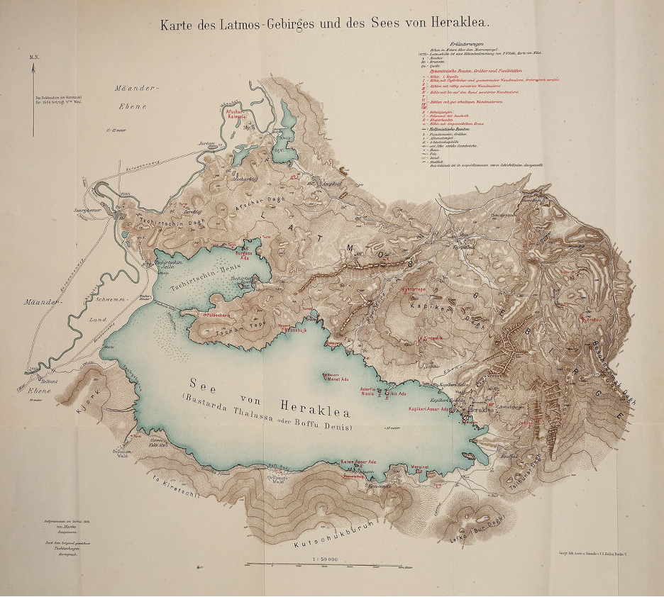
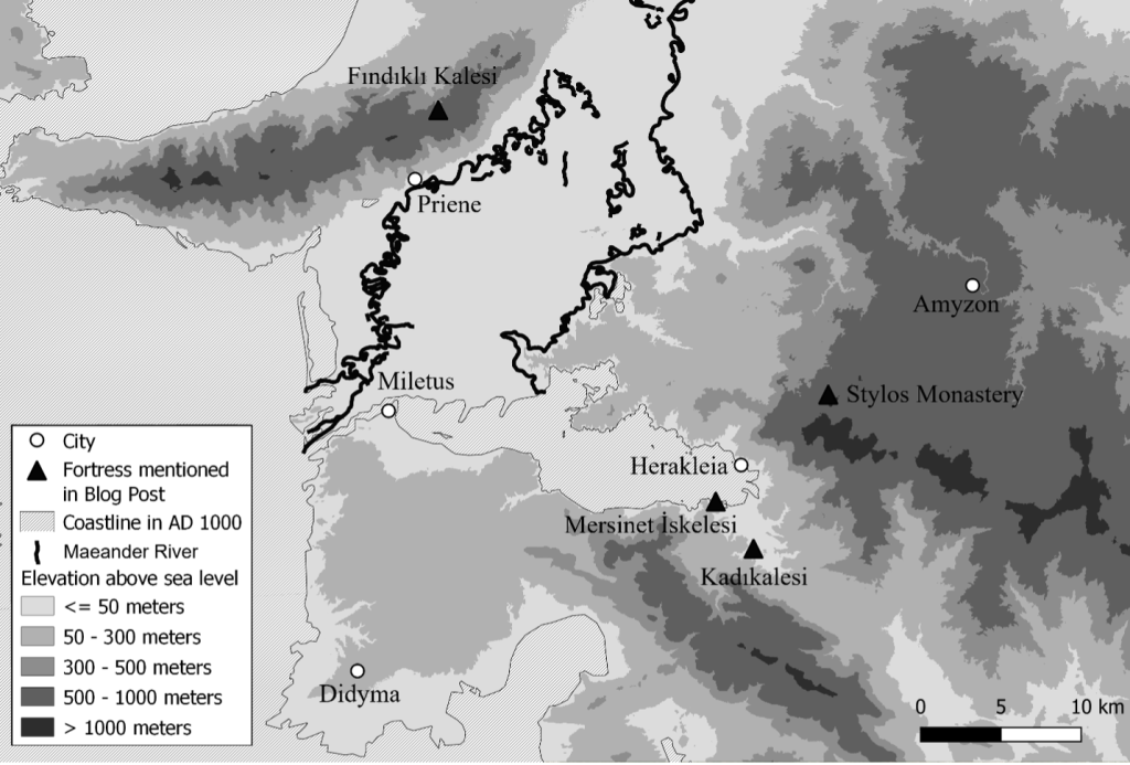
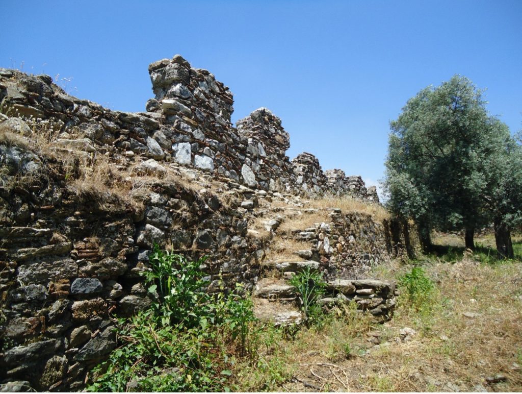
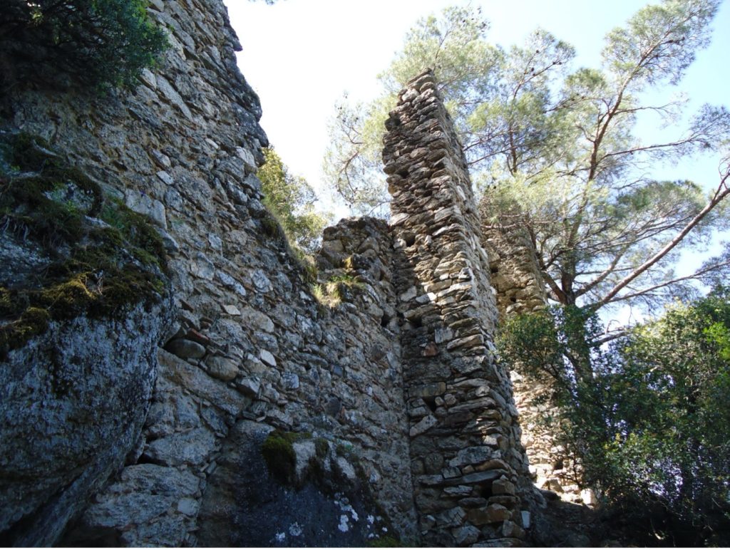
However, Pachymeres’ vision of groundwater movement is complicated by the fact that the alluvial plain and the land underneath Tralleis are not the same (Fig. 2). The location of the city is known from archaeological work in the nineteenth century,[4] while Tralleis has been subject to more continuous excavation since 1996 under a series of directors from Adnan Menderes University. The ground of both locations was formed by alluvial processes tied, not to the river itself, but to the mountain streams flowing down from the mountain of Messogis (modern Aydın Dağlar). These streams deposited their dissolved soil at the base of the mountain creating what is called an alluvial fan. The numerous fans on the southern slopes of Messogis blend together into a singular strip stretching from Tralleis to the Maeander River (Fig 2, diagonal hatched lines). The fundamental difference between the ground upon which Tralleis sits and the alluvial plain is when it was formed by an alluvial fan. The conglomerate rock upon which the entire city stood (Fig. 2, crossed hatched lines) was formed by alluvial forces 400,000 years ago in the late Pleistocene, i.e., when woolly mammoths still walked the earth.[5] In fact, the alluvial fans that formed this conglomerate are so old that seismic forces have shifted them upwards in the landscape since then. The Eudonos Stream (modern Tabakhane Çayı) actually cuts a canyon through it. One can productively compare the geological situation at Tralleis with the city of Sardis in the Hermus river valley to the north. The acropolis of Sardis was built upon the “Sart formation,” another bit of Pleistocene, alluvially-formed conglomerate that was thrusted upward by seismic forces.[6]
I do not compare this medieval explanation with modern geology to shame Pachymeres. If anything, that such a deep dive into modern geology is required to understand the extent to which this explanation does error, should be seen as a sign of its elegance and sophistication.
Tyler Wolford, PhD
Byzantine Studies Postdoctoral Fellowship
Medieval Institute
University of Notre Dame
[1] George Pachymeres, Chronikon I.191; Albert Failler, ed., George Pachymérès Relations Historiques I. Livres I-III. Paris, 1984, VI.20, pg. 595, line 12-29, pg. 597, lines 1-3, See also the discussion of this phenomenon in Peter Thonemann, The Maeander Valley: A Historical Geography from Antiquity to Byzantium. Cambridge, 2014, 1-4.
[2] Geoponika II.9. For an English translation see Andrew Dalby, trans. Geoponika: Farm Work. Prospect Books, 2011, 79.
[3] J. Lefort, R. Bondoux, J.-Cl. Cheynet, J.-P. Grélois, V. Kravari, ed., Géométries du fisc byzantin. Réalités byzantines 4. Paris, 1991, Paragraph 4, 8. For more on the Byzantine tradition of land survey, see my earlier entry in the Medieval Institute’s blog: https://sites.nd.edu/manuscript-studies/2024/12/25/a-cord-laid-tight-loosens-discord-the-shifting-role-of-precision-in-the-byzantine-landsurvey-tradition/
[4] C. Humann and W. Doerfeld, “Ausgrabungen in Tralles,” Mittheilungen des Kaiserlich Deutschen Archaeologischen Instituts. Athenische Abtheilung 18 (1893): 395-413.
[5] Emrah Özpolat, Cengiz Yıldırım, and Tolga Görüm, “The Quaternary Landform of the Büyük Menderes Graben System: the Southern Menderes Massif, Western Anatolia, Turkey,” Journal of Maps 16.2 (2020): 407-411.
[6] Gürol Seyitoğlu, Nicholas D. Cahill, Veysel Işık, and Korhan Esat, “Morphotectonics of the Alaşehir Graben with a Special Emphasis on the Landscape of the Ancient City of Sardis, Western Turkey,” in Landscapes and Landforms of Turkey, ed. Catherine Kuzucuoğlu, Attila Çiner, and Nizamettin Kazancı. Springer, 2019, 495-507.